
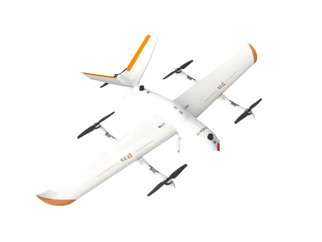
 VTOL Fixed-Wing
P35 Aerial Survey System
HuaCheng Navigation's self-developed intelligent aerial survey system is designed for high precision, no ground control points required, long flight endurance, multi-payload support, and easy operation. With a 1 kg payload capacity, it offers 135 minutes of flight time and covers up to 30 square kilometers per mission. Compatible with orthophoto, oblique photography, laser scanning, and other survey payloads.
Core Specifications
Full Specifications
| Wingspan | 2.53m |
| Maximum Takeoff Weight | 14kg |
| Maximum Load | 2 kg |
| Maximum battery life | 135min@1kg |
| Cruise Speed | 21 m/s |
| Maximum area per flight | 30 km² |
| Location Accuracy | Horizontal ±1cm+1ppm, Vertical ±2cm+1ppm |
| Communication Range | 20 km |
| Maximum Flight Altitude | 6500m |
| Load Type | Oblique Aerial Camera / Tilt-Aerial Camera / LiDAR Scanning System / Gimbal Camera |
* Specifications sourced fromChinasoft NavigationOfficial product documentation is publicly available; actual configurations are subject to factory specifications. Product prices are subject to inquiry.
Download Product Brochure
Below isP35 Aerial Survey SystemBrochure preview compiled by Huaying Technology using official public information. Click the button to download the PDF version for internal review and selection archiving.
HuaCheng Navigation's self-developed intelligent aerial survey system is designed for high precision, no ground control points required, long flight endurance, multi-payload support, and easy operation. With a 1 kg payload capacity, it offers 135 minutes of flight time and covers up to 30 square kilometers per mission. Compatible with orthophoto, oblique photography, laser scanning, and other survey payloads.
| Wingspan | 2.53m |
| Maximum Takeoff Weight | 14kg |
| Maximum Load | 2 kg |
| Maximum battery life | 135min@1kg |
| Cruise speed | 21 m/s |
| Maximum area per flight | 30 sq km |
| Location Accuracy | Horizontal ±1cm+1ppm, Vertical ±2cm+1ppm |
| Communication Range | 20 km |
| Maximum Flight Altitude | 6500m |
| Load Type | Orthophoto Camera / Oblique Photogrammetry Camera / LiDAR Scanning System / Gimbal Camera |
Brochures are generated in real-time based on page content, which is derived fromChinasoft NavigationOfficial documentation: If your browser blocks the download, allow pop-ups and try again.
- Professional Scenario Selection Guide
- Customer Service Hotline 4006068166
- Building 7, Compound 2, Guanghua Road, Chaoyang District, Beijing
Purchase Intent
Submit your requirements and contact details. A sales consultant will confirm pricing, stock availability, and delivery options with you. Product prices are subject to quotation.
Recommended Related Products
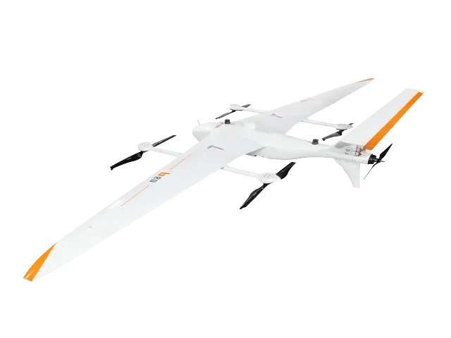
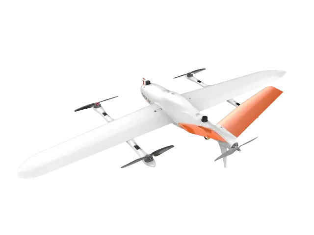
Aerial Surveying and Industry Inspection Drone PlatformProduct images and specifications are sourced from official manufacturer data. The brochures on this site are compiled versions based on such data and may differ in layout from the manufacturer's official printed materials.