

CHCNAV UAV
Aerial Surveying and Industry Inspection Drone Platform
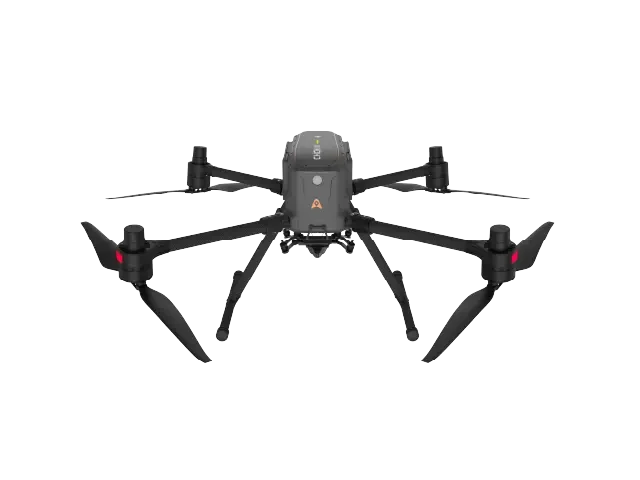
VTOL Fixed-Wing
Shared3This product
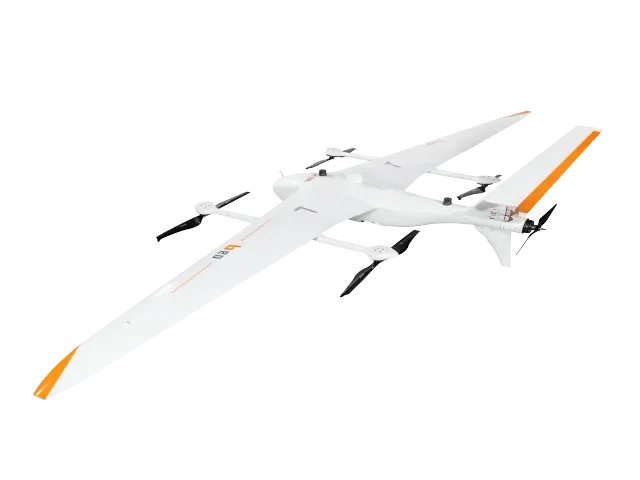 VTOL Fixed-Wing
P60 Aerial Survey System
The new generation heavy-lift fixed-wing UAV developed by CHCNAV is designed for portable transport, long endurance, and ease of operation. It features deep integration with proprietary payloads and uses a 4+1 motor system for vertical takeoff and landing. With a maximum operating altitude of 6500 meters, it can carry cameras and LiDAR systems to perform regional aerial survey data collection.
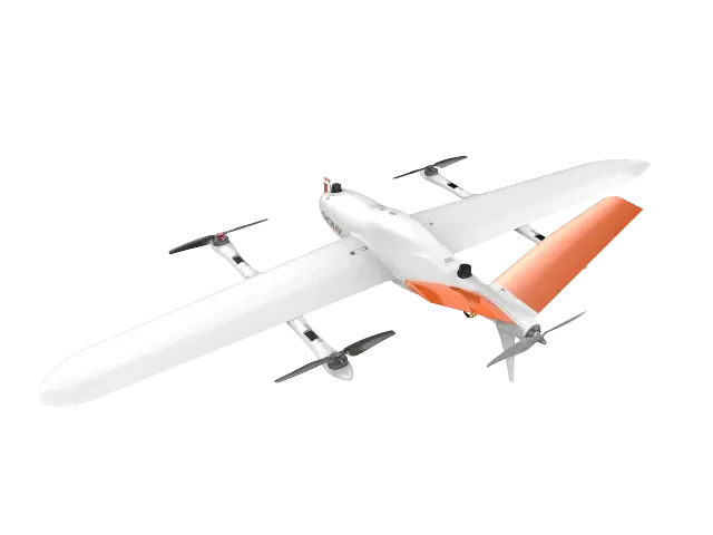 VTOL Fixed-Wing
P330 Pro Surveying Drone
HuaCe Navigation's self-developed pure electric vertical takeoff and landing fixed-wing aerial survey system is designed for high precision, no ground control points (GCPs), long endurance, multi-payload capability, and ease of operation. Equipped with a built-in high-frequency differential module, it supports large-area 1:500 surveys without GCPs and reliably completes aerial survey tasks in complex environments.
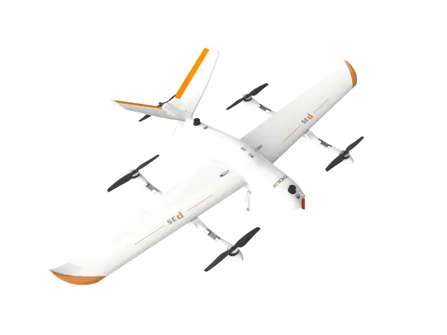 VTOL Fixed-Wing
P35 Aerial Survey System
HuaCheng Navigation's self-developed intelligent aerial survey system is designed for high precision, no ground control points required, long flight endurance, multi-payload support, and easy operation. With a 1 kg payload capacity, it offers 135 minutes of flight time and covers up to 30 square kilometers per mission. Compatible with orthophoto, oblique photography, laser scanning, and other survey payloads.
AboutChinasoft Navigation
China Navigation focuses on core high-precision navigation and positioning technologies. We provide multirotor and VTOL fixed-wing drone platforms for aerial surveying and industrial inspection, integrated with self-developed orthophoto/inclined cameras, LiDAR scanning systems, and 3D data processing software. Our solutions serve land surveying, real-world 3D modeling, power grid inspection, and emergency disaster relief scenarios.
- Choice of multirotor and VTOL fixed-wing platforms
- High-precision RTK positioning and ground-control-free aerial surveying capabilities
- Supports multiple payloads, including aerial survey cameras and LiDAR scanners.
Provided by Huaying Technology Co., Ltd.Chinasoft NavigationInquiries, solution design, and bulk supply support for the full product line. Prices are subject to quotation.
Need forChinasoft NavigationDevice Selection
Our technical team will provide equipment selection, payload configuration, and bulk supply support tailored to your operational scenarios and budget.