

HCT Handheld
Handheld Surveying Instruments
Huace Navigation professional handheld surveying equipment, integrating SLAM and high-precision RTK technology to deliver accurate and efficient 3D measurement solutions for land surveying, smart cities, BIM construction, agricultural and forestry measurements, and underground space data collection.
Core Product Advantages
Core Advantages
Centimeter-level accuracy
RTK Real-Time Kinematic positioning with centimeter-level accuracy
SLAM Fusion
Deep Fusion of SLAM and High-Precision RTK
Extended Battery Life
Large-capacity battery with up to 4 hours of battery life
Industrial Protection
IP54 rated for harsh environments
Product Series
Product Series
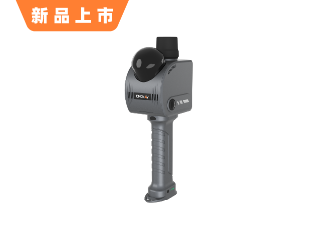
Handheld Scanner
Handheld 3D Laser Scanner
华测专业手持三维激光扫描仪,融合 SLAM 与高精度 RTK,支持室内外全场景测绘
Learn More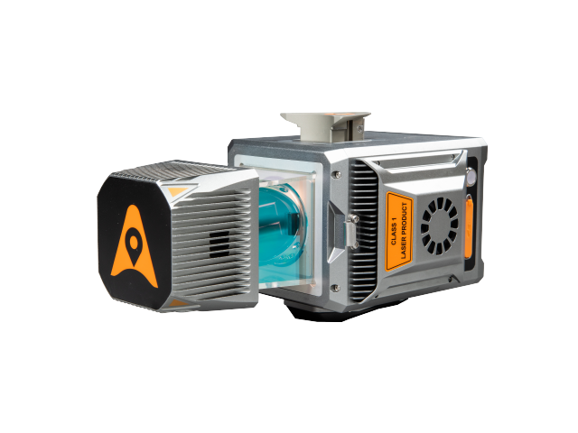
Multi-Platform Laser Scanning System
Multi-Platform Laser Scanning System
华测多平台激光扫描系统,支持车载、机载、船载等多种平台搭载,适用于地形测量、三维数据采集等场景
Learn More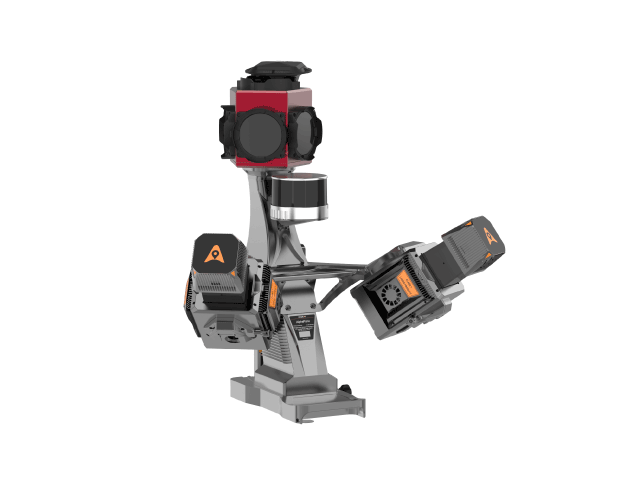
MMS Mobile Measurement System
Mobile Mapping System
华测MMS移动测量系统,集成激光扫描、GNSS定位、惯导系统,实现快速高效的空间数据采集
Learn More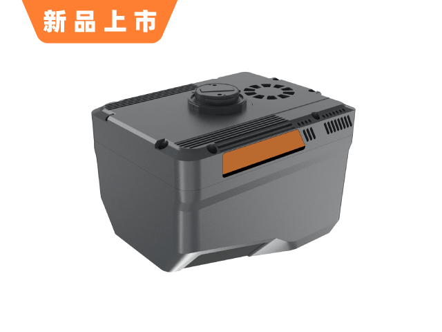
LiDAR Aerial Survey System
Airborne Laser Scanning System
华测激光航测系统,搭载无人机平台,实现高精度三维点云数据采集,适用于地形测绘、林业调查等场景
Learn MoreApplication Scenarios
Application Scenarios
Land Surveying and Mapping
Topographic surveying, cadastral surveying, and control surveying
Smart City
Urban 3D Modeling, BIM Construction
Agricultural and Forestry Surveying
Forestry resource survey, precision agricultural measurement
Underground Space
Underground utility tunnels, mine shafts, and tunnel surveying
Precision measurement, efficient operations
HuaCe Navigation handheld surveying devices integrate SLAM and high-precision RTK technology to deliver centimeter-level positioning solutions for land surveying, smart cities, and BIM construction.