

HCT Handheld
Handheld Surveying Instruments
Huace Navigation professional handheld surveying equipment, integrating SLAM and high-precision RTK technology to deliver accurate and efficient 3D measurement solutions for land surveying, smart cities, BIM construction, agricultural and forestry measurements, and underground space data collection.
Core Product Advantages
Core Advantages
Centimeter-level accuracy
RTK Real-Time Kinematic positioning with centimeter-level accuracy
SLAM Fusion
Deep Fusion of SLAM and High-Precision RTK
Extended Battery Life
Large-capacity battery with up to 4 hours of battery life
Industrial Protection
IP54 rated for harsh environments
LiDAR Aerial Survey System
Airborne Laser Scanning System
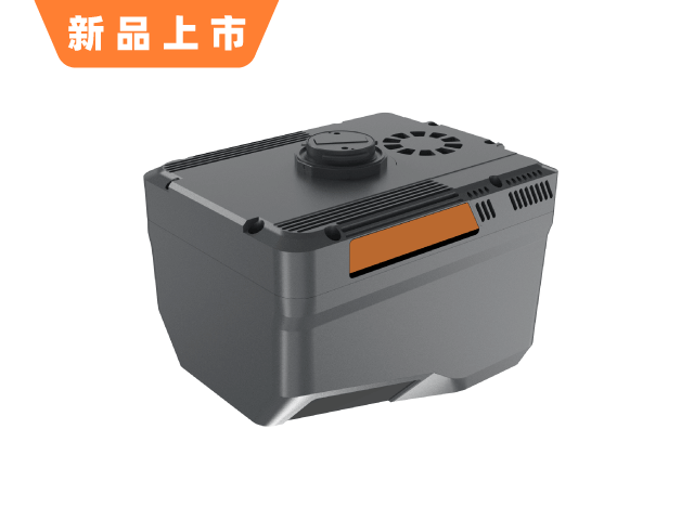
AA6 Measurement System
Model:AA6
Huace Navigation AA6 Surveying System – High-precision laser measurement equipment for engineering surveying, topographic mapping, and more.
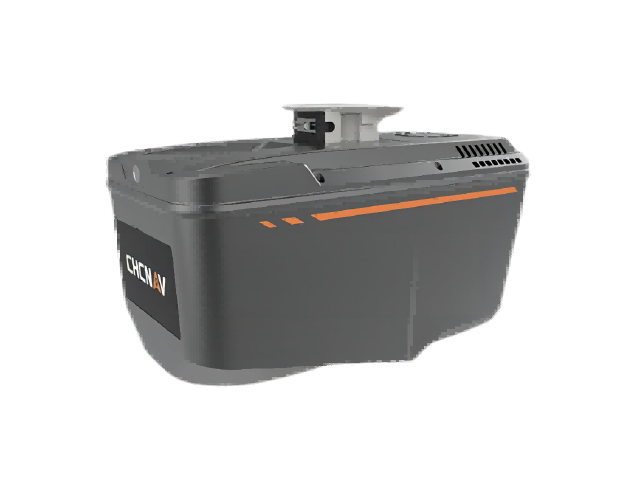
AA9 LiDAR Aerial Survey System
Model:AA9
Huace Navigation AA9 Airborne Laser Scanning System. Features self-developed high-precision airborne LiDAR for survey-grade accuracy. Equipped with real-time waveform processing, high-frequency emission, long-range measurement, and high-precision angular measurement. Delivers thinner point clouds and faster data updates.
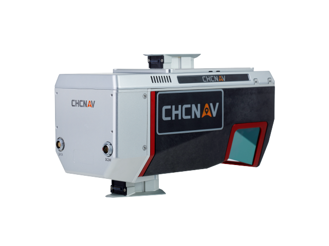
AA1400 Airborne LiDAR System
Model:AA1400
The airborne scanning and measurement system developed by CHC Navigation is renowned for its high precision and superior results, making it ideal for terrain surveying and 3D data acquisition.
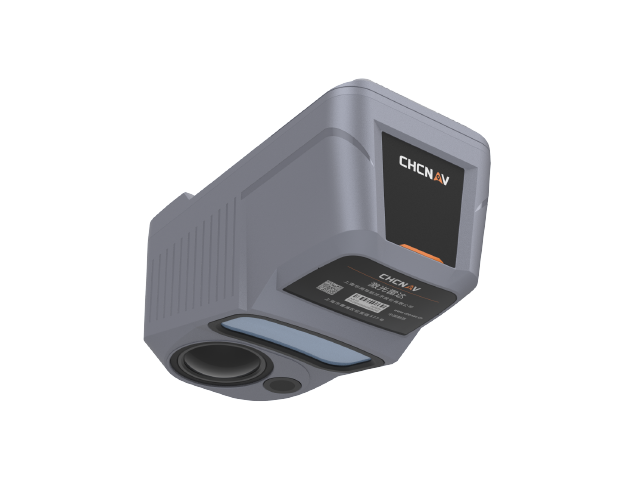
AA10 Airborne LiDAR
Model:AA10
The ATRIS series airborne LiDAR system, independently developed by CHC Navigation. Featuring high-precision inertial navigation, full-frame industrial cameras, and an integrated design, it delivers 80K points/sec scanning with 5 cm range accuracy at flight altitudes of 150 m. With strong vegetation penetration, it rapidly generates colored point clouds, 3D models, and high-precision DEMs to significantly boost field survey efficiency.
AA15P Laser Scanning System
Model:AA15P
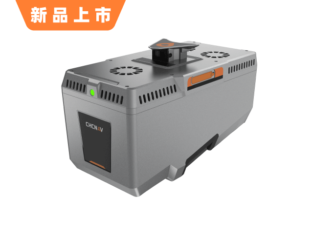
AA15P LiDAR Scanning System delivers long-range, high-density point cloud acquisition with 16-return capability for penetrating dense vegetation and rapidly generating 3D reality models. Compatible with leading oblique photography cameras on the market, it enables fused modeling using both point clouds and imagery. Its lightweight design offers extended flight times and supports integration with various UAV platforms, making it ideal for UAV-based scanning and modeling, aerial surveying and mapping, and terrain measurement across significant elevation changes.
Use Cases
Application Scenarios
Land Surveying and Mapping
Topographic surveying, cadastral surveying, and control surveying
Smart City
Urban 3D Modeling, BIM Construction
Agricultural and Forestry Surveying
Forestry resource survey, precision agricultural measurement
Underground Space
Underground utility tunnels, mine shafts, and tunnel surveying
Precision measurement, efficient operations
HuaCe Navigation handheld surveying devices integrate SLAM and high-precision RTK technology to deliver centimeter-level positioning solutions for land surveying, smart cities, and BIM construction.