
CHCNAVData Collector
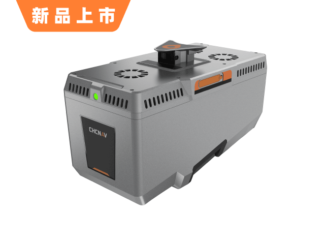
AA10 Airborne LiDAR
Model:AA10
The ATRIS series airborne LiDAR system, independently developed by CHC Navigation. Featuring high-precision inertial navigation, full-frame industrial cameras, and an integrated design, it delivers 80K points/sec scanning with 5 cm range accuracy at flight altitudes of 150 m. With strong vegetation penetration, it rapidly generates colored point clouds, 3D models, and high-precision DEMs to significantly boost field survey efficiency.
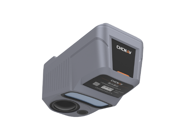
Highlights
Key Features
Integrated all-in-one design
150m flight with 5cm high precision
Strong vegetation penetration capability
Quickly Generate Colored Point Clouds and DEMs
Specifications
Technical Specifications
Click frequency
80 points/sec
High Precision
150m flight altitude, 5cm GSD
Inertial Navigation
High-precision Inertial Navigation
Camera
Full-Frame Industrial Camera
penetrate
Strong vegetation penetration
Achievements
Colored point cloud / 3D model / DEM
Related Products
Related Products
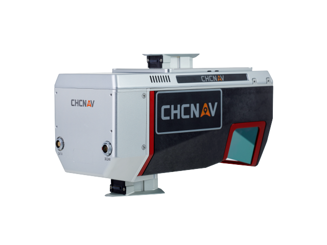
YesAA10 Airborne LiDARInterested?
Contact us for product quotes and technical solutions