
CHCNAVData Collector
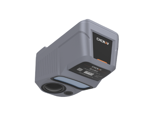
AA15P Laser Scanning System
Model:AA15P
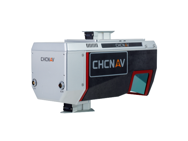
AA15P LiDAR Scanning System delivers long-range, high-density point cloud acquisition with 16-return capability for penetrating dense vegetation and rapidly generating 3D reality models. Compatible with leading oblique photography cameras on the market, it enables fused modeling using both point clouds and imagery. Its lightweight design offers extended flight times and supports integration with various UAV platforms, making it ideal for UAV-based scanning and modeling, aerial surveying and mapping, and terrain measurement across significant elevation changes.
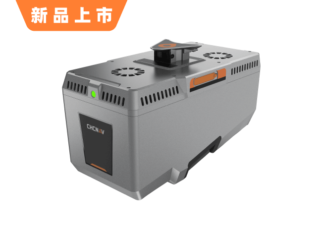
Highlights
Key Features
16 echoes penetrated dense vegetation
Long-range high-density point cloud
Point cloud and imagery fusion modeling
Lightweight multi-platform deployment
Specifications
Technical Specifications
Echo
16 Echoes
penetrate
Dense vegetation penetration
Features
Long-range high-density point cloud
Compatible
Mainstream Oblique Camera
Design
Lightweight
App
UAV Scanning & Modeling / Aerial Survey Modeling / High-Difference Terrain
Related Products
Related Products
YesAA15P Laser Scanning SystemInterested?
Contact us for product quotes and technical solutions