
BackData Collector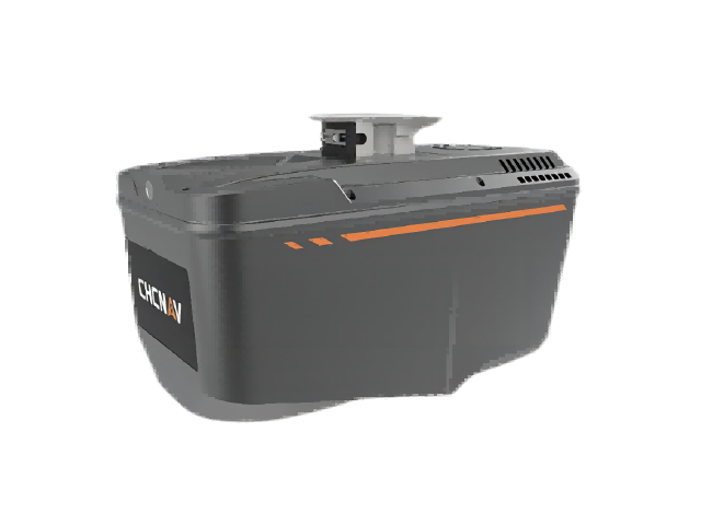
CHCNAVData Collector
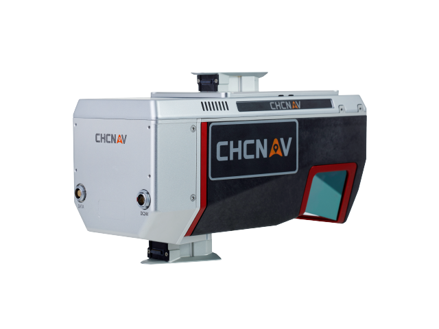
AA9 LiDAR Aerial Survey System
Model:AA9
Huace Navigation AA9 Airborne Laser Scanning System. Features self-developed high-precision airborne LiDAR for survey-grade accuracy. Equipped with real-time waveform processing, high-frequency emission, long-range measurement, and high-precision angular measurement. Delivers thinner point clouds and faster data updates.
Survey-grade precisionReal-time waveform processing technologyHigh-frequency, long-rangeFast processing for sparse point cloud data
Highlights
Key Features
Survey-grade precision
Real-time waveform processing technology
High-frequency, long-range
Fast processing of sparse point cloud data
Specifications
Technical Specifications
Precision
Survey-grade precision
Technology
Real-time waveform processing
Frequency
High-frequency transmission
Range
Long-range
Features
Thin point clouds / Fast data updates
Related Products
Related Products
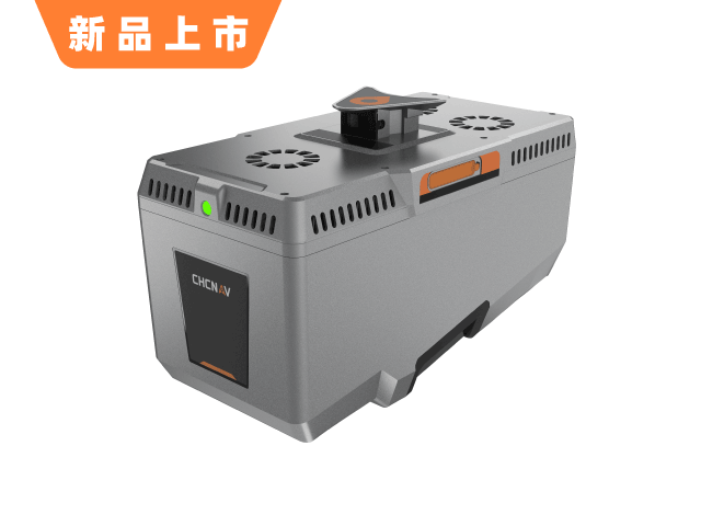
YesAA9 LiDAR Aerial Survey SystemInterested?
Contact us for product quotes and technical solutions