
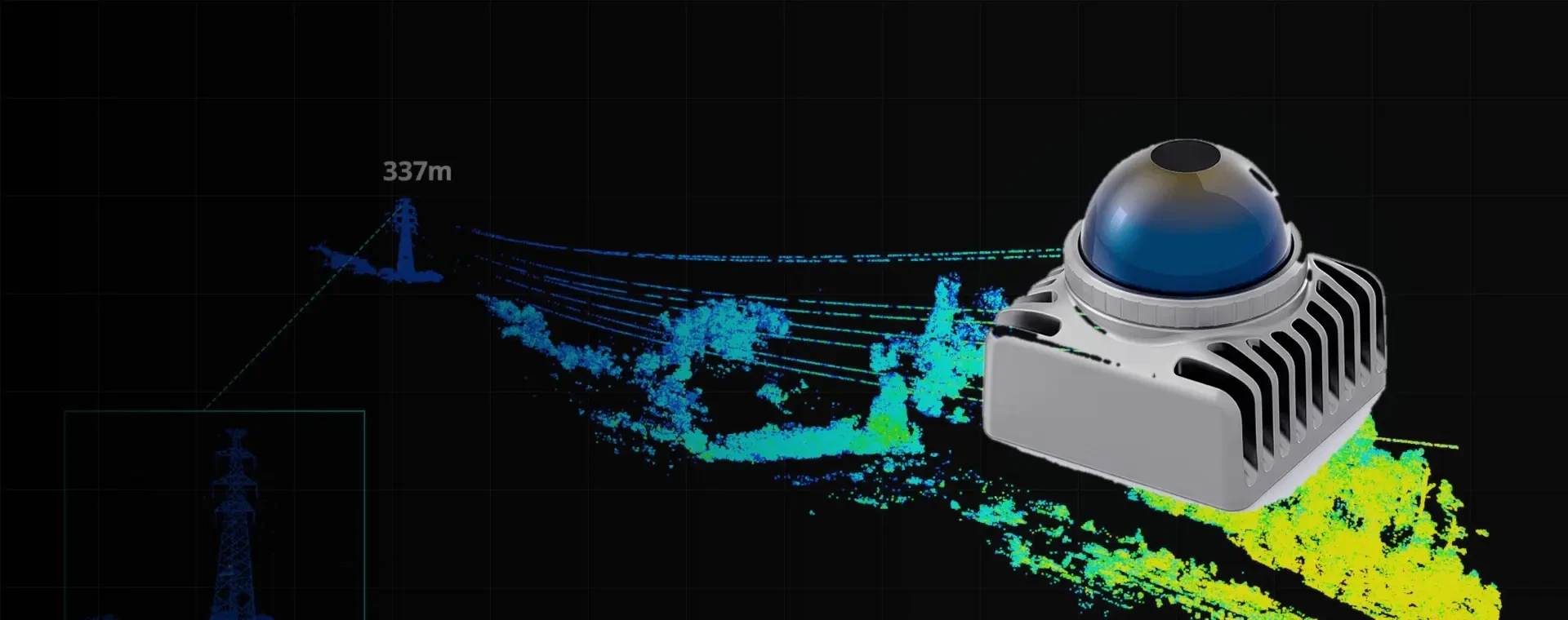
LIVOX LiDAR
LIVOX offers three LiDAR series—Mid, Avia, and Tele—for robot navigation and obstacle avoidance, surveying and inspection, and point cloud acquisition. Access official technical specifications and product brochures here.
LIVOX LiDAR
LIVOX offers three LiDAR series—Mid, Avia, and Tele—for robot navigation and obstacle avoidance, surveying and inspection, and point cloud acquisition. Access official technical specifications and product brochures here.
 LIVOX LiDAR
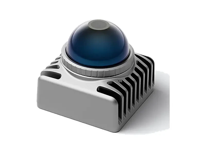
Mid-360L
High-performance 3D LiDAR for mobile robots. Horizontal FOV 360°, vertical FOV -10° to 34°. Blind zone as close as 0.1 meters. Ultra-lightweight at just 245 grams. Ideal for navigation and obstacle avoidance in lawn mowers, cleaning robots, AMRs, and automated forklifts.
 LIVOX LiDAR
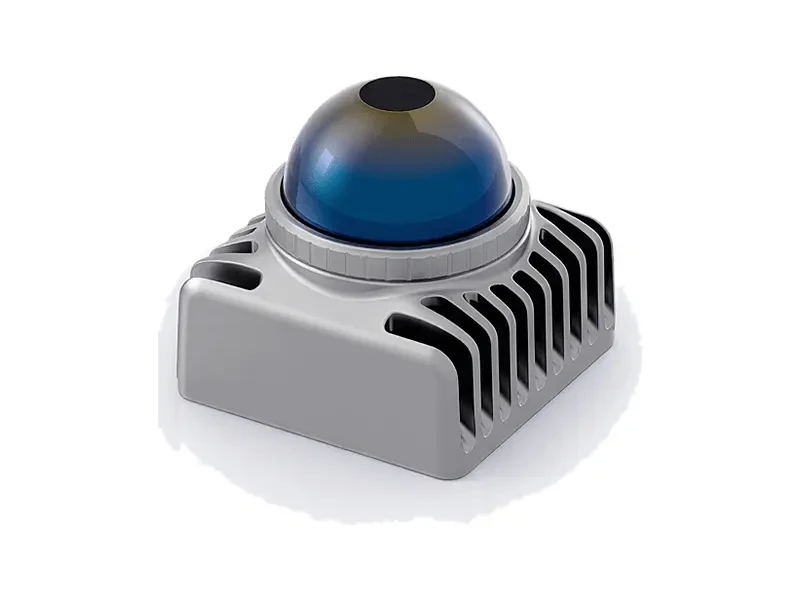
Mid-360S
Mid-series high-performance model with horizontal field of view 360° and vertical field of view -7° to 52°. Scanning rate: 200,000 points/sec. Supports multi-radar anti-interference. Ideal for precise obstacle avoidance and 3D mapping on mobile robots.
 LIVOX LiDAR
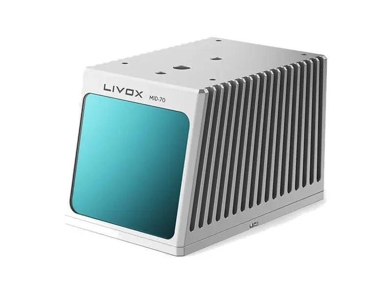
Mid-70
70.4° circular field of view, dual-echo output at 200,000 points/sec. Max range up to 130 meters at 20% reflectivity. Ideal for surveying, inspection, and high-density point cloud acquisition for robotics.
 LIVOX LiDAR
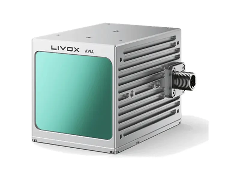
Avia 2
1535 nm laser solution with dual modes: Normal mode 80°×80° and Focus mode 15°×15°. Focus mode supports a range of ≥800 meters, enabling both wide-area inspection and long-distance precision scanning.
 LIVOX LiDAR
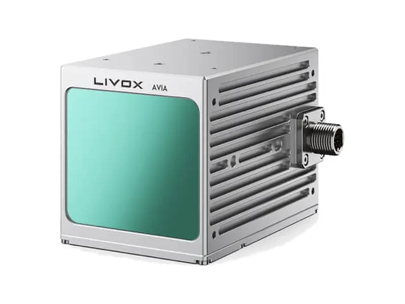
Avia
70.4° × 77.2° non-repetitive scan field of view; supports 3-echo and dual-scan modes. Low-light operating range up to 450 meters. Ideal for airborne and ground applications in surveying, power, forestry, and more.
Application Scenarios & Solutions
Recommendations for equipment selection, load configuration, and operational workflows tailored to typical use cases.

Power Inspection
Enhance inspection efficiency and operational safety for transmission lines, substations, and distribution equipment with precision inspections using infrared thermography, laser rangefinding, and autonomous flight paths.
- Infrared Thermometry and Overheating Defect Identification
- Wire-level obstacle avoidance and laser ranging
- RTK Centimeter-Level Autonomous Inspection Flight Path
- Unattended automatic battery swapping, supporting continuous field operations.

Agricultural Plant Protection
A complete solution for agricultural drone spraying, spreading, and orchard lifting. Covers diverse terrains including large fields, hills, and orchards, supporting fully automated operations and precise variable-rate application.
- Multi-Mode: Spray, Broadcast, and Aerial Transport
- RTK Autonomous Operation and Breakpoint Resume Spraying
- Fast charging boosts continuous operation efficiency
- Continuous drone operations with rapid battery swaps to minimize turnaround downtime.

Surveying and Mapping
High-precision aerial survey solution for terrain mapping, engineering surveying, and reality-based 3D modeling. Mechanical shutter cameras combined with RTK positioning ensure map accuracy.
- Mechanical Shutter and RTK High-Precision Mapping
- Orthophoto and 3D Point Cloud Modeling
- Long-endurance, large-area operational capability
- Unattended automatic battery swapping, supporting continuous field operations.

Emergency Rescue
Rapid response solution for natural disasters, accident rescue, and nighttime search-and-rescue operations. Infrared thermal imaging, long-range video transmission, and aerial delivery enhance on-site situational awareness.
- Infrared thermal imaging night search
- Long-Range Video Transmission and Airborne Relay
- Logistics Delivery and Emergency Lighting
- Drone Monitoring Platform for Mobile Deployment
Need help selecting a DJI device?
Our technical team will provide equipment selection, solution design, and bulk supply support tailored to your use case and budget.