
Education & Research · Education & Research
Drone and Surveying Practical Training
End-to-end workflow: from flight training to map generation
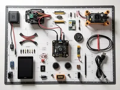
The training lab is equipped with industry-grade drones and RTK terminals. The curriculum covers flight path planning, ground control point deployment, aerial triangulation modeling, and result verification. Consumables are stocked in bulk per semester.
Solution Components
What's included in this plan?
Use Cases
Deliverables
- Device and Course Mapping
- Training Facilities and Safety Guidelines
- Software Licensing & Accounts
- Faculty Training
Implementation Path
From a single point to an entire area
STEP01
On-site Requirement Confirmation
Confirm the locations and quantities of points for scenarios such as drone training labs, surveying and mapping training bases, and skills competition preparation centers against existing system data.
STEP02
Inventory and Configuration
Output a table listing model numbers, quantities, installation locations, and interface mappings to clearly identify add-ons and optional configurations.
STEP03
Implementation and Integration
Complete installation, configuration, and system integration per the "Deliverables" section, retaining all debug logs.
STEP04
Training and Handover
On-site training and daily maintenance, including account handover, configuration documentation, and spare parts list.
Competitor Solutions
Education & ResearchRest of the industry2package
Smart Classroom and Remote Teaching
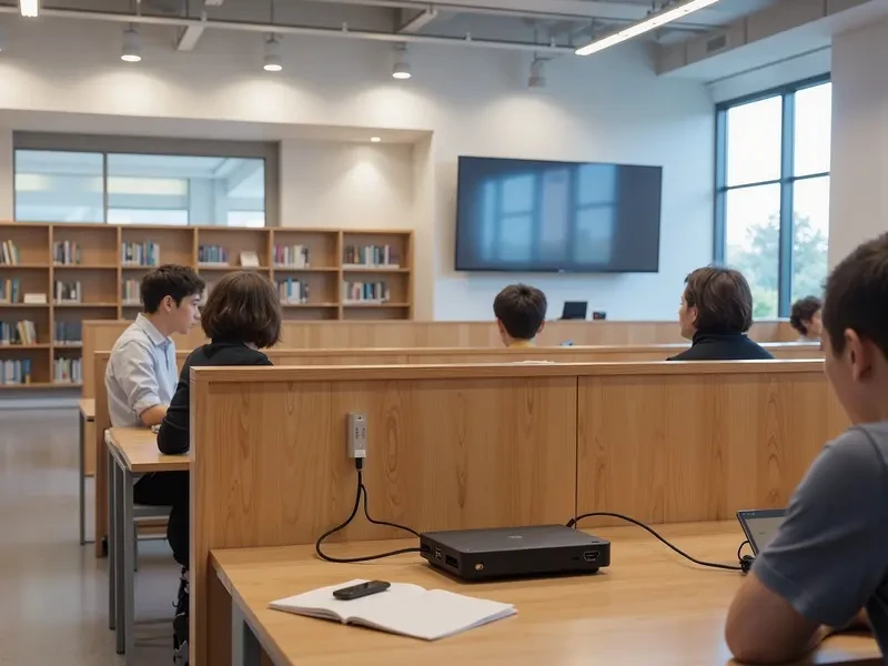
Classrooms replace projectors and whiteboards with collaborative tablets, enabling wireless screen sharing and digital annotations. Integrated recording and video conferencing terminals support synchronized classes across campuses.
View plan
Research Computing Platform
For small-scale projects, use GPU workstations. For medium-scale projects, use GPU servers with 4 to 8 GPUs. For centralized training, select a full-rack solution based on the data center's power and cooling capabilities.
View planNeed a cross-industry portfolio? ViewAll Solutionsor directlyContact Us。